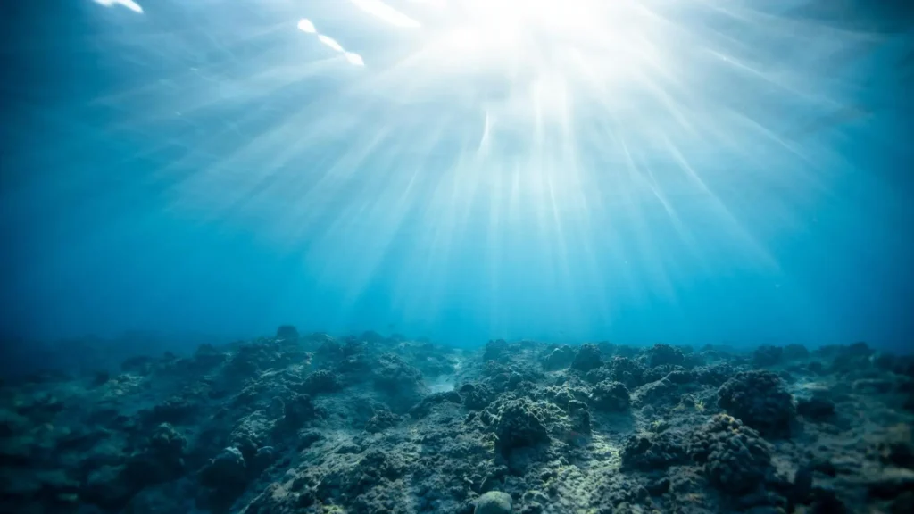
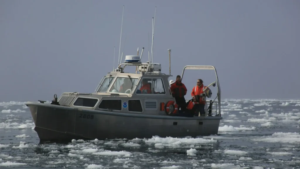
Hydrographic surveying is the process of mapping underwater terrain, measuring water depths, and analyzing the physical features of water bodies such as oceans, rivers, and lakes. This specialized form of surveying is essential for navigation, marine construction, and environmental studies. It utilizes advanced technologies such as sonar, LiDAR, and satellite-derived bathymetry to collect accurate and reliable data.
Why Hydrographic Surveying Is Important
Hydrographic surveying plays a crucial role in maritime safety, infrastructure development, and environmental conservation. Accurate seabed mapping ensures safe navigation routes for vessels, while precise depth measurements aid in the construction of harbors, bridges, and offshore structures. Additionally, hydrographic data supports scientific research, fisheries management, and disaster risk assessment.

Key Techniques Used in Hydrographic Surveying
Single-Beam & Multi-Beam Echo Sounders
Echo sounders use sonar technology to determine water depths by transmitting sound pulses and measuring the time taken for the echoes to return. Single-beam echo sounders provide depth data at single points, while multi-beam systems create detailed 3D maps of the seafloor.
LiDAR for Underwater Mapping
LiDAR (Light Detection and Ranging) is an aerial surveying technology that uses laser pulses to map underwater environments in shallow waters. Airborne LiDAR bathymetry is particularly effective for coastal studies, flood modeling, and environmental monitoring.
Satellite-Derived Bathymetry (SDB)
Satellite-derived bathymetry uses remote sensing technology to estimate water depths based on variations in light reflection. This method is beneficial for large-scale mapping projects and preliminary surveys where traditional hydrographic techniques may be impractical.
Applications of Hydrographic Surveying
Coastal & Port Development
Hydrographic surveys support the design and maintenance of ports, harbors, and coastal infrastructure. Accurate bathymetric data ensures that dredging activities are performed efficiently, preventing sediment build-up that could obstruct navigation.
Underwater Infrastructure Inspection
Submarine cables, pipelines, and offshore oil rigs require regular inspections to ensure structural integrity. Hydrographic surveying techniques such as side-scan sonar and remotely operated vehicles (ROVs) help detect anomalies and prevent costly failures.
Marine Resource Exploration
Hydrographic surveys are used to locate underwater mineral resources, assess fish populations, and monitor coral reef health. This data aids in the sustainable management of marine ecosystems and fisheries.
Flood & Disaster Management
Accurate hydrographic data helps predict and mitigate the impacts of natural disasters such as tsunamis, hurricanes, and coastal flooding. By analyzing underwater topography, scientists can model water movement and improve early warning systems.
Hydrographic Surveying Equipment & Technologies
Modern hydrographic surveys rely on advanced equipment, including:
- Sonar Systems – Used for depth measurements and seabed imaging.
- Unmanned Surface Vehicles (USVs) – Autonomous survey vessels that enhance efficiency and safety.
- Global Navigation Satellite Systems (GNSS) – Provide precise positioning data for survey operations.
- GIS & Data Processing Software – Enables visualization and analysis of hydrographic survey results.

Challenges in Hydrographic Surveying & Solutions
Hydrographic surveying faces several challenges, such as:
- Limited visibility in deep waters – Advanced sonar and ROVs help overcome this issue.
- Turbulent weather conditions – Real-time data collection ensures accuracy despite environmental variables.
- High operational costs – The use of drones and automated survey platforms reduces costs and increases efficiency.
The Future of Hydrographic Surveying
The future of hydrographic surveying is driven by technological advancements, including artificial intelligence, real-time data analytics, and automation. The integration of AI-powered data processing tools enhances survey accuracy and efficiency, while autonomous underwater vehicles (AUVs) expand survey capabilities into deep-sea environments.
Conclusion
Hydrographic surveying is an essential practice that supports marine navigation, infrastructure development, and environmental conservation. With continuous advancements in sonar, LiDAR, and remote sensing technologies, hydrographic surveys are becoming more accurate and efficient. By leveraging these innovations, SurveyTransfer remains at the forefront of hydrographic data management, enabling professionals to access and share high-quality survey results seamlessly.
If you really liked what you read than you can share it with your friends. 🙂
Did you like what you read? Do you want to read similar ones?


