
Case studies (demo projects)
The following are waiting for you on the ‘Case Studies’ page:
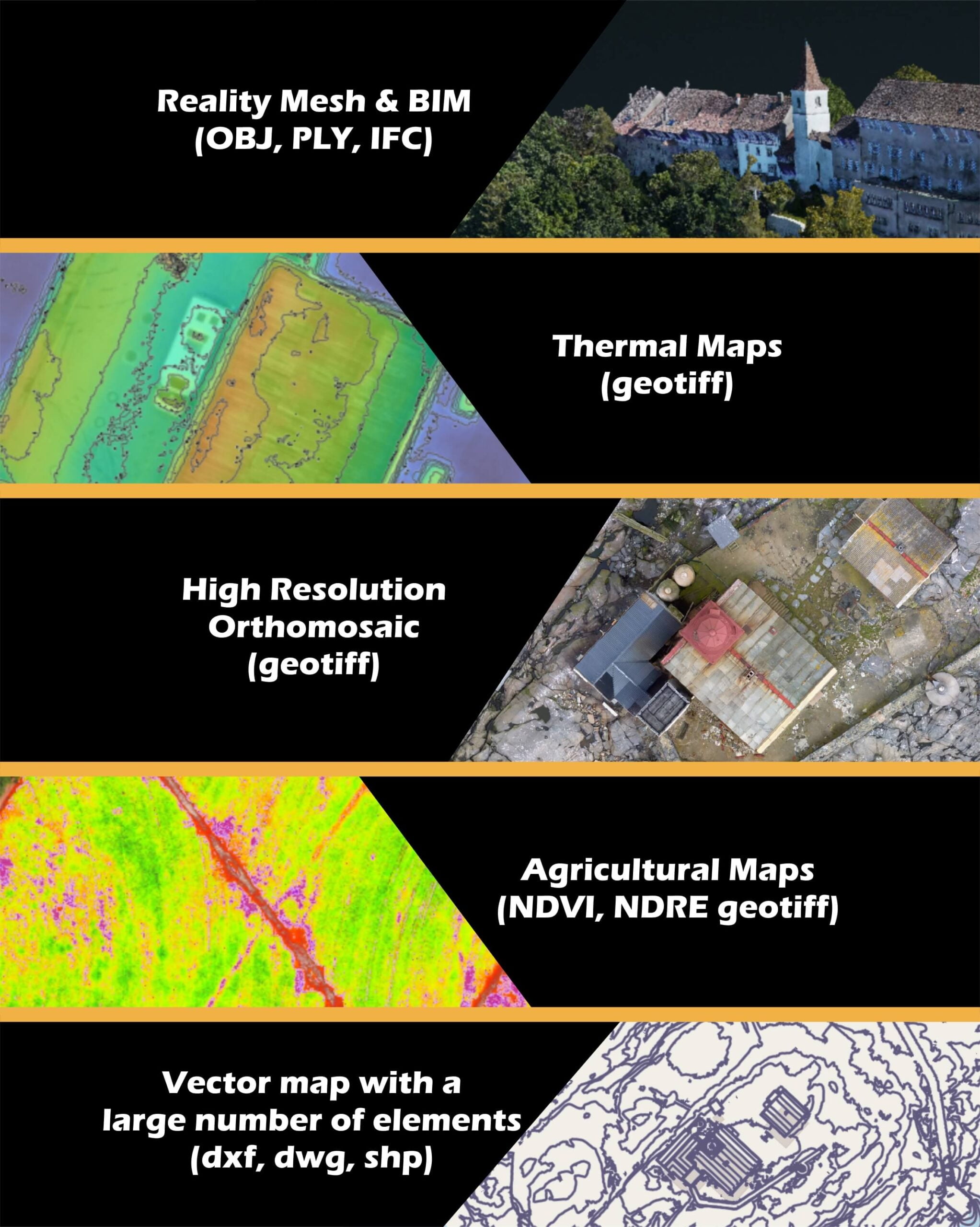
- 3D digital twin of Regensberg (reality mesh)
- Industrial estate – Thermal mapping
- Powerline Detection
- Precision Agriculture (NDVI; NDRE)
- Heritage Protection – Castle and French gardens point cloud
- Torbjørnskjær lighthouse – Orthomosaic, contour lines, DEM, point cloud and reality mesh model of an island.

SURVEYTRANSFER - HOW TO USE
The following are waiting for you on the ‘How to Use’ page:
- The purpose and overview of SurveyTransfer geospatial data sharing software
- Important information before using SurveyTransfer geospatial sharing:
- Supported file formats
- File size limits
- Plans
- File processing
- Account creation, billing management and SurveyTransfer’s user interface
- Sharing GeoTIFF files on the web
- Sharing vector maps on the web with SurveyTransfer
- Sharing point clouds on the web: sharing LAS and LAZ
- Sharing 3D models on the web: sharing obj, ply and ifc
- Managing Layers in SurveyTransfer’s Map and 3D View
- Measurements on SurveyTransfer’s shareable web map
- Measurements in SurveyTransfer’s shareable web 3D
- Getting support from and providing feedback to SurveyTransfer

SURVEYTRANSFER - Blog
The following articles are waiting for you on the ‘Blog’ page:
- Data collection (e.g. drone flight plan, ground photogrammetry, best drones, navigation systems)
- Data processing (everything from photogrammetry processing through volume calculation to point cloud masking!)
- Data sharing and visualization (GIS techniques and data visualization in all quantities)
- ‘Quick Start’ for beginner drone mappers and those interested in the topic
- GIS in general – approached from a theoretical point of view
- Business tips for beginning entrepreneurs