
Online point cloud viewer, a cutting-edge tool that revolutionizes data visualization on the web. Why is web data visualization experiencing a renaissance? Thanks to modern survey procedures – such as photogrammetry or LiDAR – massive point clouds, 3D models and maps can be produced. The sharing and representation of and collaboration on these within or outside the organization can be extremely challenging for non-technical users. An easy-to-use online point cloud viewer is an outstanding opportunity for geospatial data producers.
Whether you’re an architect, engineer, or data scientist, these online viewers have been designed to cater to your specific needs. Visualize complex 3D objects with ease, manipulate the point of view, and delve into every detail with precision.
Using an online point cloud viewer such as SurveyTransfer, you can effortlessly navigate through vast datasets. This powerful tool offers a user-friendly experience, eliminating the need for complicated software installations or specialized hardware.
Say goodbye to static images and hello to dynamic, interactive visualizations that bring your data to life. Dive into immersive point cloud exploration and gain new insights effortlessly. Experience the future of data visualization with point cloud online viewers.
The Need for Online Point Cloud Viewers
In the digital age, where data is growing exponentially, traditional methods of data visualization are no longer sufficient. Online point cloud viewers address this challenge by providing an intuitive and user-friendly platform for accessing and exploring complex 3D data. Architects, engineers, and data scientists can now visualize their projects with ease, manipulate the point of view, and delve into every intricate detail with precision. Whether you’re analyzing building structures, planning urban developments, or conducting spatial analysis, an online point cloud viewer offers a powerful solution that simplifies the visualization process.
With the ability to navigate through vast datasets effortlessly, online point cloud viewer empowers users to gain valuable insights from their data. Gone are the days of static images that provide limited perspectives. The dynamic and interactive nature of point cloud visualization brings data to life, enabling users to explore different angles, zoom in on specific areas, and extract meaningful information. This newfound flexibility opens up a world of possibilities for data-driven decision making, as users can now uncover hidden patterns, detect anomalies, and make informed choices based on accurate visual representations.
Advantages of Using a Point Cloud Online Viewer
The advantages of utilizing an online point cloud viewer are manifold. Firstly, the convenience factor cannot be overstated. Unlike traditional software installations that require significant resources and technical expertise, online viewers offer a hassle-free experience. With just a few clicks, users can access their point cloud data from any device with an internet connection, eliminating the need for expensive hardware or complex software installations. This accessibility ensures that geospatial data can be shared and collaborated on seamlessly, both within and outside the organization.
Secondly, the online point cloud viewer provides a level of interactivity that is unparalleled. Users can manipulate the point of view, change the perspective, and navigate through the data effortlessly. This dynamic approach to visualization allows for a deeper understanding of the spatial relationships within the point cloud, enabling users to make more informed decisions. Whether it’s analyzing the structural integrity of a building, measuring distances, or identifying potential design flaws, the interactive nature of online viewers enhances the user experience and facilitates data exploration.
Furthermore, the online point cloud viewer offers advanced functionalities that go beyond traditional visualization methods. Users can apply filters, perform measurements, and extract specific data points, all within the viewer itself. This eliminates the need to export the data to external software for further analysis, saving time and streamlining workflows. The ability to annotate and mark specific areas of interest directly within the viewer also enhances collaboration, as users can easily communicate their findings and insights to stakeholders.
Integrating Online Point Cloud Viewer into Existing Workflows
One of the key advantages of online point cloud viewers is their seamless integration into existing workflows. Whether you’re working with popular geospatial data formats such as LAS, LAZ, or XYZ, or utilizing specialized software for data processing, online viewers provide compatibility with a wide range of file types. This interoperability ensures that users can effortlessly upload their point cloud data and visualize it within minutes.
To integrate a point cloud online viewer into your workflow, simply follow these steps:
1. Prepare your point cloud data: Ensure that your data is in a compatible format, such as LAS or LAZ. If necessary, convert the data using specialized software or tools.
2. Upload the data: Once your data is ready, navigate to the online viewer platform, such as SurveyTransfer and upload your point cloud into a project. Select your point cloud file and wait for the upload process to complete. Depending on the size of your dataset, this may take some time.
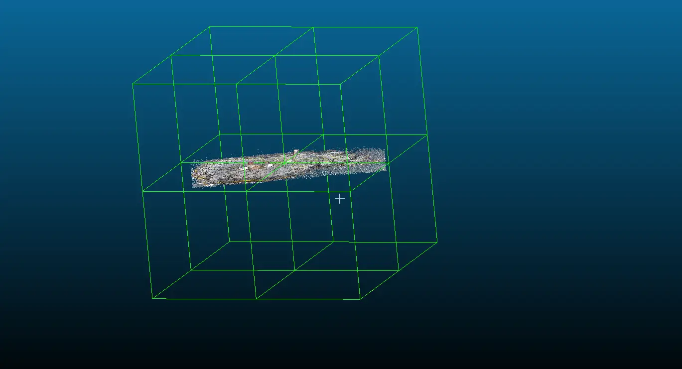
3. Have a coffee: In order for the online point cloud viewer to work effectively, the point clouds need to be converted into web publishable form. This is important because a huge data set has to be managed with limited resources (web browser). In order for a simple web browser to be able to display point clouds, it divides the point cloud into so-called octree levels. The online point cloud viewer exchanges data with the server according to the octree levels, thus optimizing resources.
4. Explore and visualize: Once the data is converted, you can start exploring and visualizing it within the online viewer. Use the intuitive navigation tools to pan, zoom, and rotate the point cloud, and take advantage of advanced functionalities such as measurements, and annotations.
5. Collaborate and share: Online viewers offer built-in collaboration features that enable users to share their visualizations with others. Whether it’s sharing a specific view, generating a report, or inviting others to collaborate on the data, these features facilitate seamless collaboration and knowledge sharing.
By integrating online point cloud viewers into your existing workflows, you can unlock the full potential of your geospatial data. Whether you’re conducting research, designing infrastructure projects, or analyzing environmental data, the power of visualization is at your fingertips.
Security Considerations
While an online point cloud viewer offers numerous advantages in terms of accessibility and convenience, it’s essential to consider security when working with sensitive or proprietary data. Here are some key considerations to keep in mind:
1. Secure Data Transmission: Ensure that the online viewer platform you choose uses secure data transmission protocols. This helps protect your data from unauthorized access or interception during transmission.
2. Access Control: Look for platforms that offer robust access control mechanisms. This allows you to define user permissions and restrict access to sensitive data or features based on user roles or project requirements.
3. Authentication and Authorization: Consider platforms that support multi-factor authentication and strong password policies. This adds an extra layer of security by requiring users to provide additional verification before accessing the data.
4. Data Privacy: Review the platform’s privacy policy to understand how your data will be handled and stored. Ensure that the platform complies with relevant data protection regulations and that your data will not be shared with third parties without your consent.
5. Backup and Recovery: Choose a platform that regularly backs up your data and has mechanisms in place for disaster recovery. This ensures that your data is protected from loss or corruption.
By considering these security factors and selecting a reputable and trusted online viewer platform, you can confidently leverage the benefits of point cloud visualization while safeguarding your valuable data.
Which viewer should you choose?
All the described criteria and security requirements are met by SurveyTransfer. In fact, even more than that! Because SurveyTransfer is not just a point cloud viewer, as you can examine several 3D models and point clouds in one 3D view at the same time. In addition to all this, SurveyTransfer also has an online map viewer, where huge raster (e.g. orthomosaic) and vector map files can be displayed in a layered structure. SurveyTransfer can manage all output files of modern geospatial data collection in one place.
Try SurveyTransfer free for 14 days with 250 GB storage. You can access the online point cloud, 3D model, raster and vector map viewer at the following link: https://app.surveytransfer.net/sign-up/
If you really liked what you read, you can share it with your friends. 🙂
Did you like what you read? Do you want to read similar ones?